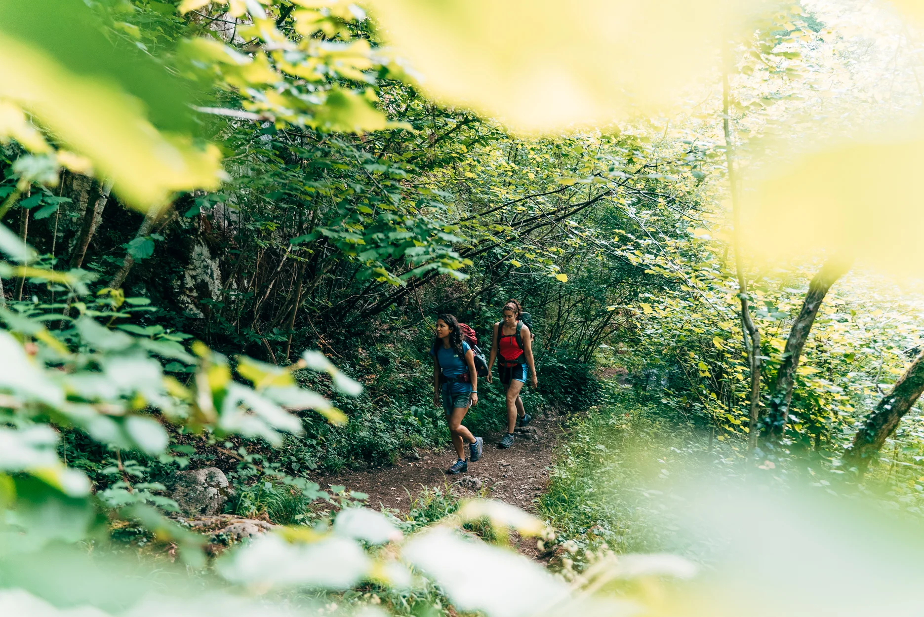
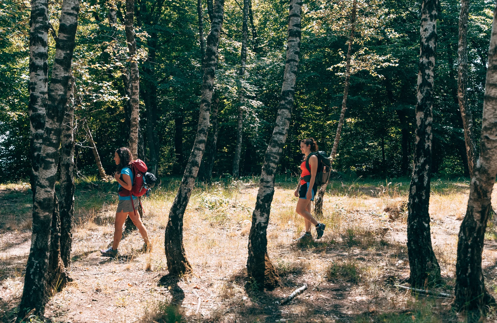
A flexible Valley ideal for enjoying outdoor activities in all seasons and levels: from experts to amateurs, to families with children. Skiing, snowshoeing, trekking, and mountain bike riding are just some of the sports that can be enjoyed in Valle Trompia. Don’t forget the experiences in contact with nature, such as the numerous activities to be enjoyed on the farms and farm stays specialising in typical local products.

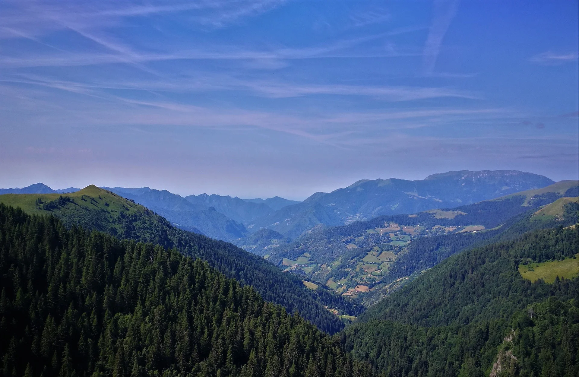
Some experts have defined the itinerary that leads from Maniva to Punta Auccia as one of the most interesting in the Brescian basin. In winter, if it is covered by a lot of snow, it can be travelled on skis or snowshoes. Its military origins allow you to cross the upper part of the Brescian Pre-Alps while admiring its amazing ...

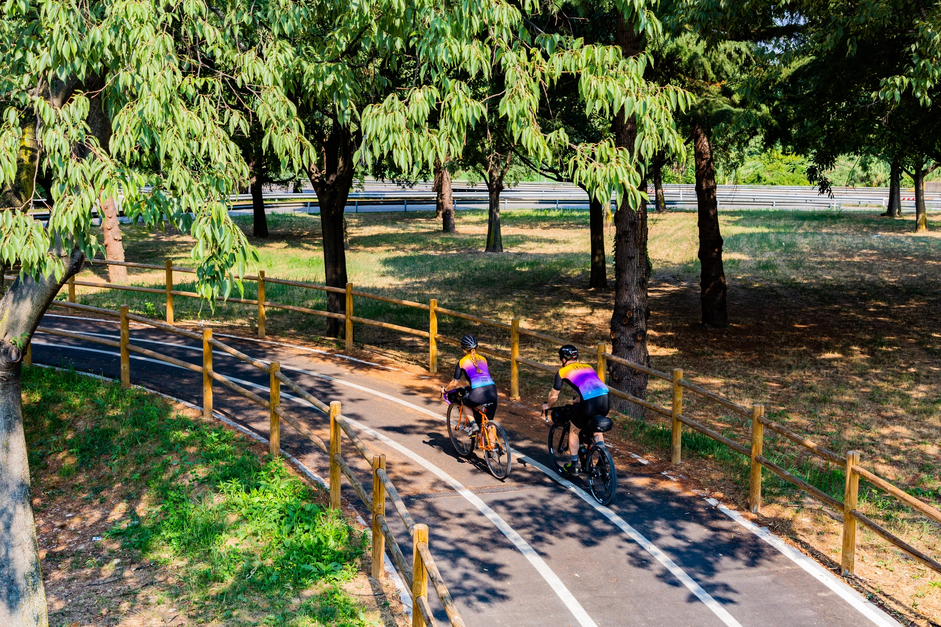
The Mella bike path is an artery of the Valle Trompia that leads from Brescia to Bovegno, in the upper valley, going up the course of the river of the same name. The well signposted and maintained bike path alternates between stretches of asphalted and dirt roads, which can also be travelled on city or trekking bikes. Among the many ...
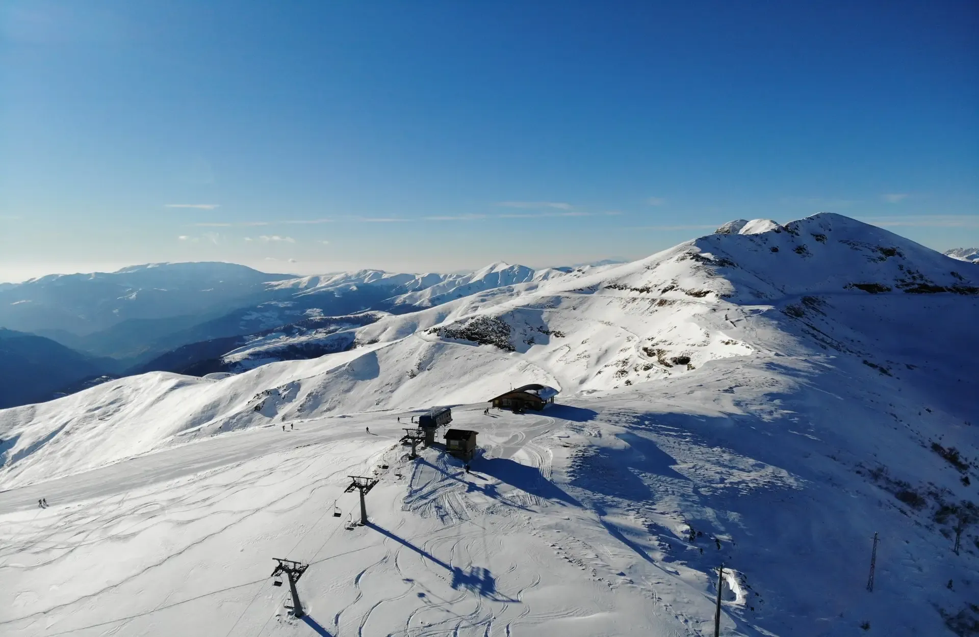
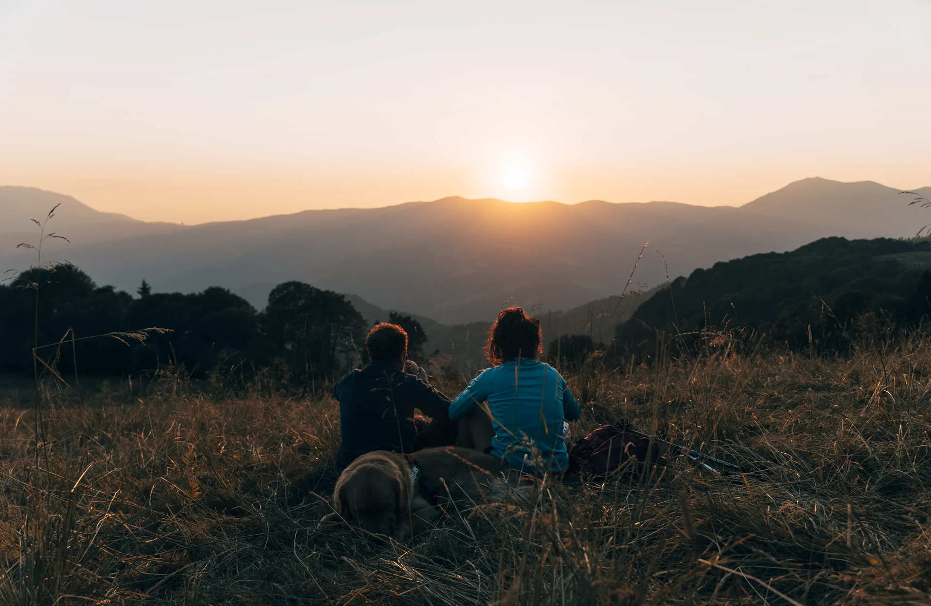
Come and discover the Maniva Ski resort! Breath-taking views and the unspoiled nature of the Rhaetian Alps: the simple beauty of Alta Valle Trompia. Families and lovers of outdoor activities, the mountains and having fun will find plenty to get their teeth into here. In fact, Maniva offers everything you need for a perfect mountain holiday. Exclusive hotels with a ...
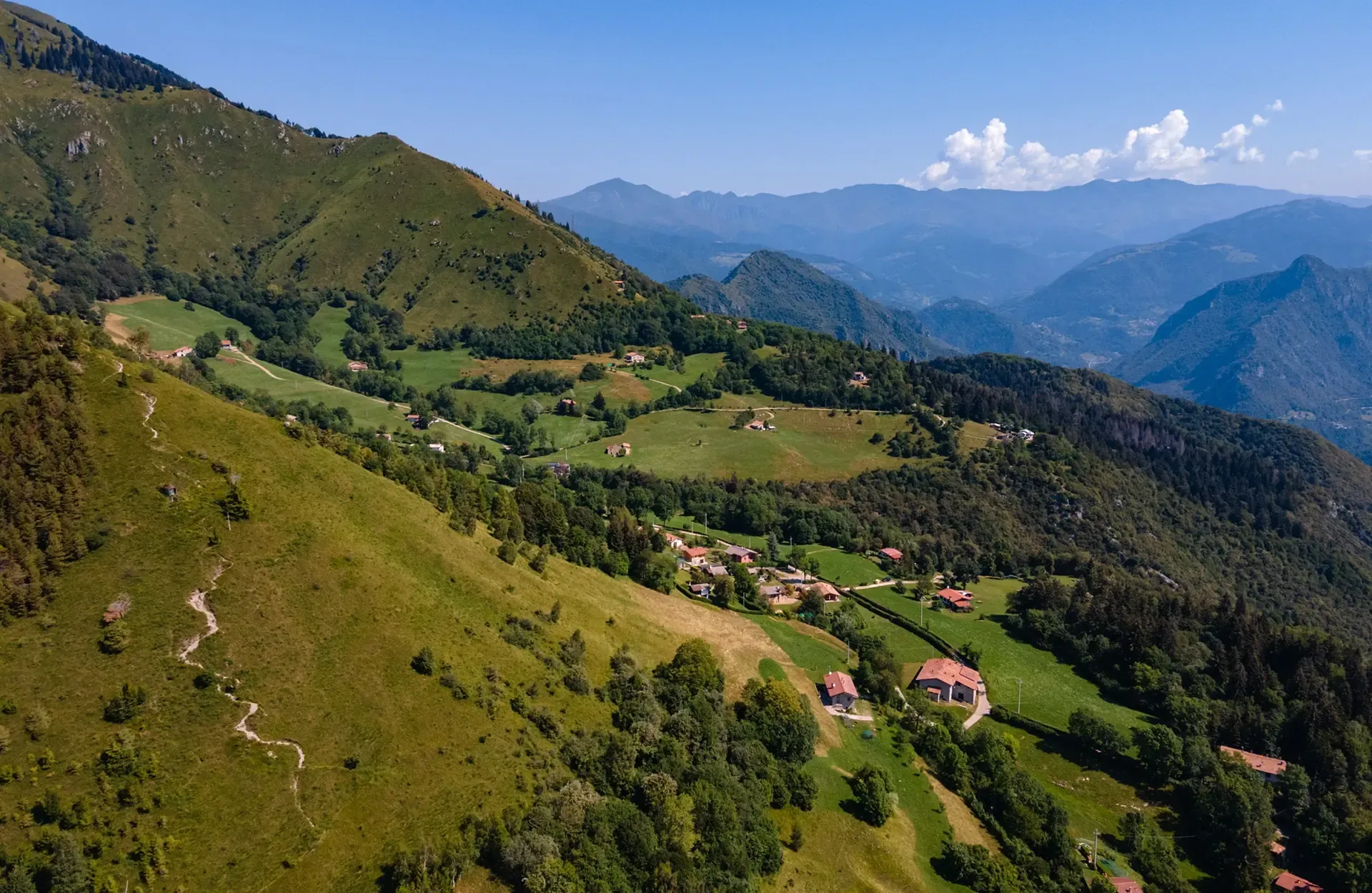
How to get from Caregno to Monte Guglielmo. You can find all the information here, as well as the possibility of downloading the route! Starting from the car park near the “La Fabbrica” restaurant in Piani di Caregno (1002 m), following CAI Trail no. 318, you can take a long walk up to Monte Guglielmo! The path begins uphill and ...
Are you ready to discover the itinerary that leads from Caregno to the CAI Valtrompia Refuge in Pontogna? Download the route! As if you were to take the route to Mount Guglielmo, the start of the route to the CAI Valtrompia Refuge is located in Piani di Caregno (1002 m), with parking near the Fabbrica restaurant. From here, take the ...
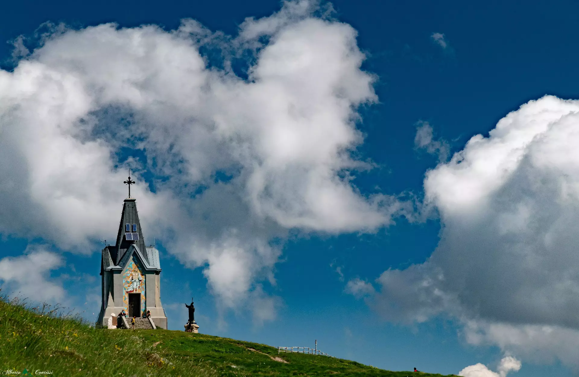
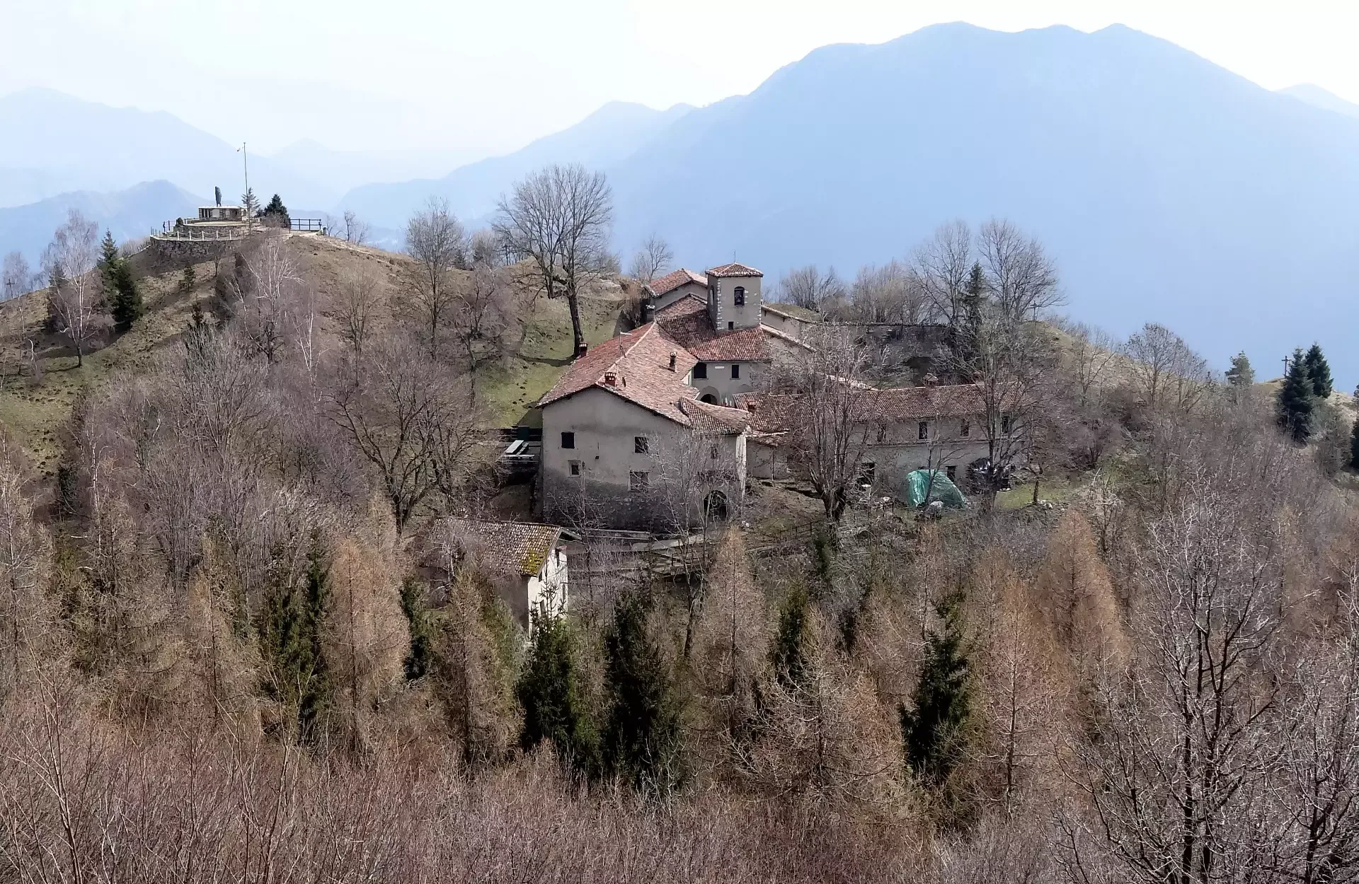
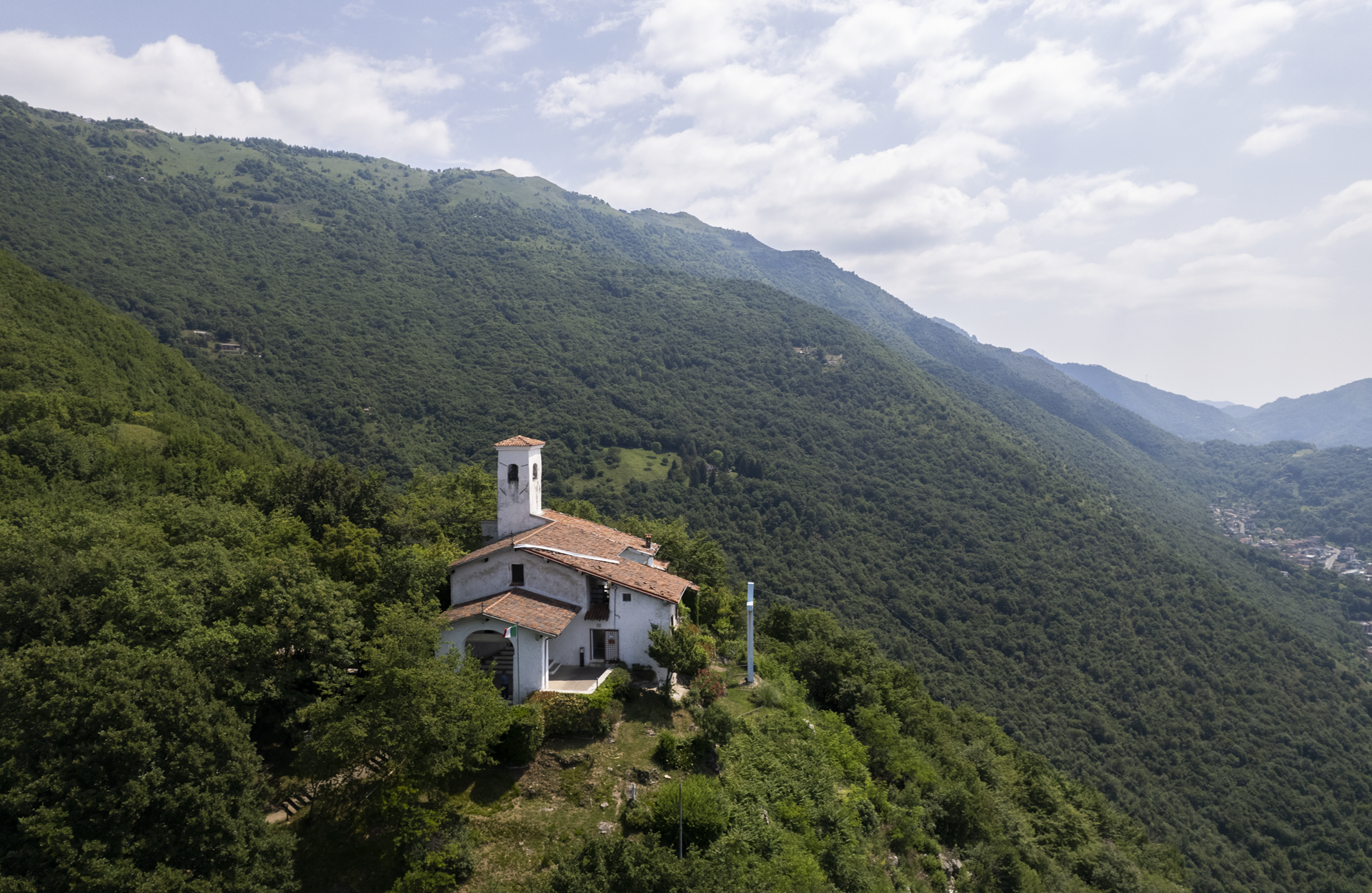
How to get from Gardone Val Trompia to Santa Maria del Giogo in two hours. CAI Trail no. 311 is not one of the shortest trails, but it is undoubtedly one of the most evocative! The path starts from Gardone V.T. (where you will find an information board) and arrives at Santa Maria del Giogo. It has great historical value, ...
Here you will find all the information you need to hike from Graticelle to Foppa del Mercato and to download the route! The itinerary starts from Graticelle, a hamlet of Bovegno, just after the bridge where you can park your car. Follow a steep mule track on the right called the Rata di San Antonio (the first kilometre is asphalted). ...
How to walk from Lodrino to Monte Palo. You can find all the directions here, as well as the possibility of downloading the route! The starting point is in Lodrino in the locality of Pineta, where you can park your car. Follow the signs for the Nasego Refuge and, after a stretch of road, follow the wide path that climbs ...
Do you want to discover the paths starting from Lumezzane and to download the route? Here are the directions that start from Lumezzane and arrive at Cascina Cocca, passing through Via Ruca and Monte Conche! At the end of Via Ruca in the locality of Faidana in Lumezzane, take a small road that crosses a stream and leads to the ...
How to get from Lumezzane Sant'Apollonio to San Bernardo on foot. You can find all the information here, as well as the possibility of downloading the route! The walk is open to everyone as it does not present any technical difficulties. From Ver in Lumezzane, it is possible to take the CAI Trail no. 367 to San Bernardo. The trail ...
An itinerary that leads from Lumezzane to the Corna del Sonclino, passing through Lumezzane Pieve and San Bernardo along CAI Trail no. 363. To take the path that leads from Lumezzane to Corna del Sonclino, go to the car park of the Parish Church of Pieve. From here (following the signs), a long flight of steps takes you along Via ...
The route from Marmentino to Monte Ario is pleasant and does not present any great technical difficulties. From Marmentino, it arrives at the village of Vaghezza, follows the Scale dell'Ario (Stairs of Ario) to Pian del Bene and then climbs up to Monte Ario, all in just under two hours! The trail described here is characterised by an immense botanical ...


