
From Marmentino to Monte Ario
Among the valleys, on Monte Ario
The route from Marmentino to Monte Ario is pleasant and does not present any great technical difficulties. From Marmentino, it arrives at the village of Vaghezza, follows the Scale dell’Ario (Stairs of Ario) to Pian del Bene and then climbs up to Monte Ario, all in just under two hours!
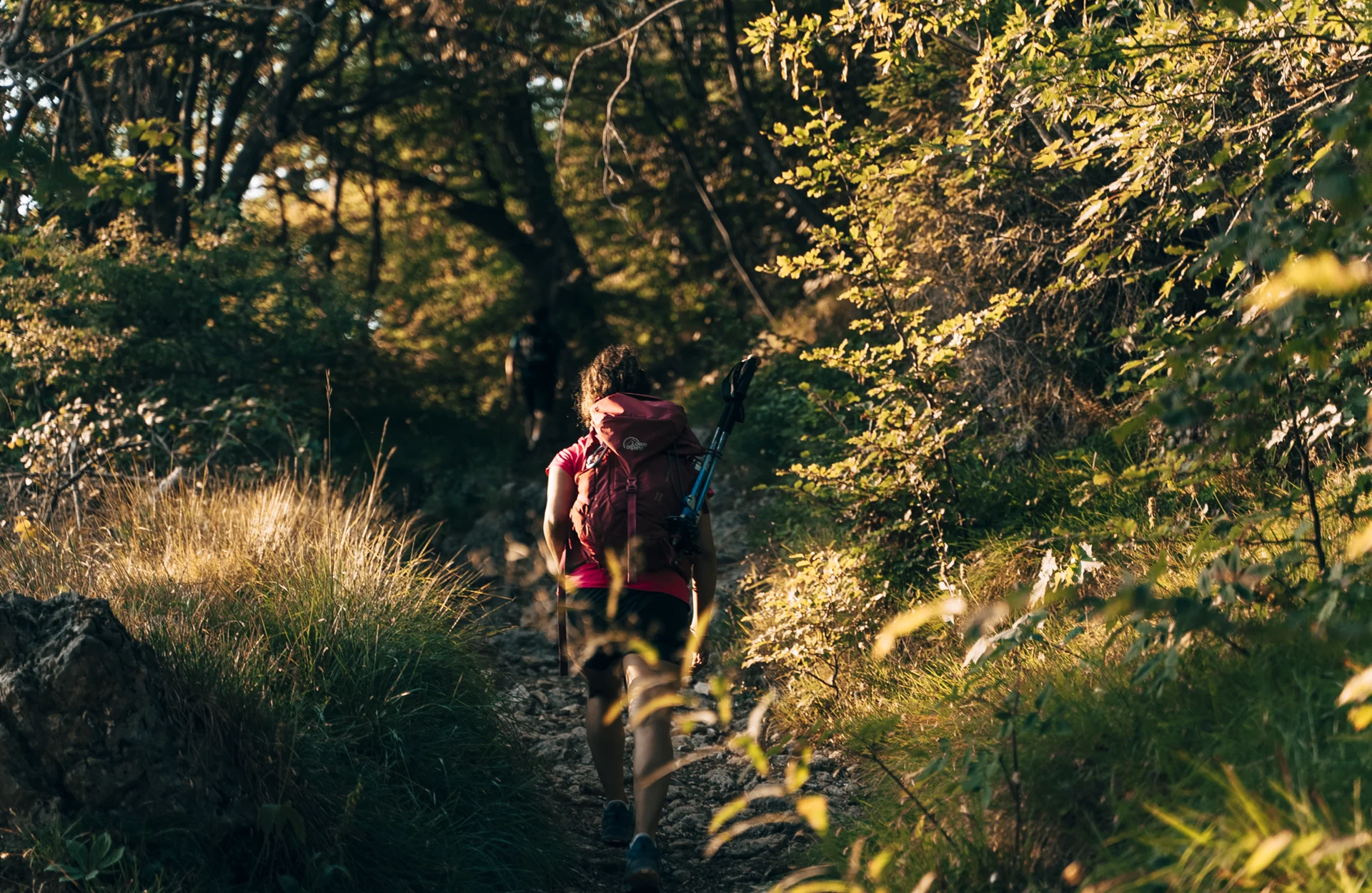
The trail described here is characterised by an immense botanical variety and particularly evocative landscapes.
It starts at Marmentino, in the locality of Dosso, follows a mule track that begins near Santellone and climbs up towards Passo delle Piazze, arriving in the vast plains of Vaghezza, where it is possible to find a place to eat and rest. When the path meets Trail 3V in Vaghezza, at the pass there are several possibilities for continuing. If you choose to stay on the 3V, the walk will become more difficult, especially on the climb called “Scale dell’Ario“.
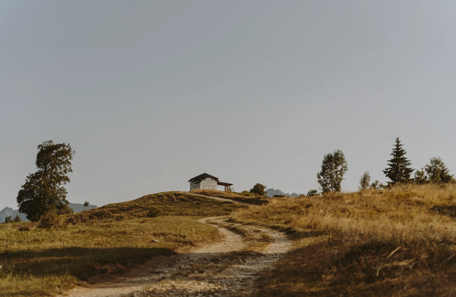
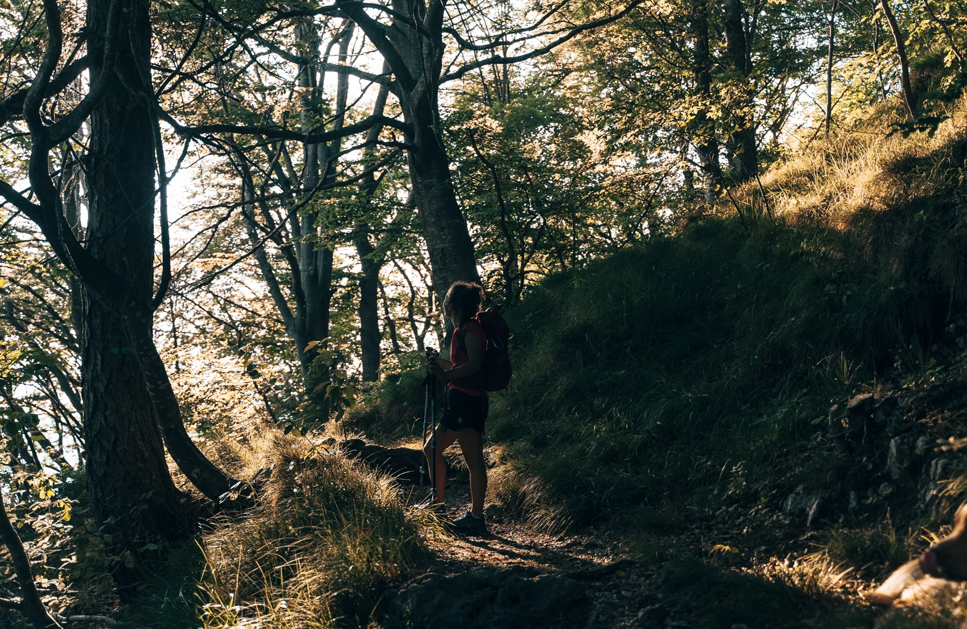
The effort, however, does not detract from the magic evoked by the marvellous vegetation that acts as a backdrop along this route. Once you leave the forest, you will find yourself in front of a large grassy area: the Pian del Bene, with a beautiful view over the valley.
From Pian del Bene, along a steep meadow and a beautiful ridge, you will reach the summit of Monte Ario at 1755 m. From here, you can enjoy a beautiful view of Alta Val Trompia and its peaks.
Just below the summit, in the area of Pian del Bene, is the Bivacco Malga Croce (managed by the CAI of Gardone V.T.), an assistance point in case of emergency and loading for those who want to spend a day immersed in nature.
Departure: Marmentino loc. Dosso 876 m
Arrival: Monte Ario 1755 m
Length: 6 km
Difficulty: Hiking
Duration: 2 hrs 30 min
Altitude difference: 879 m
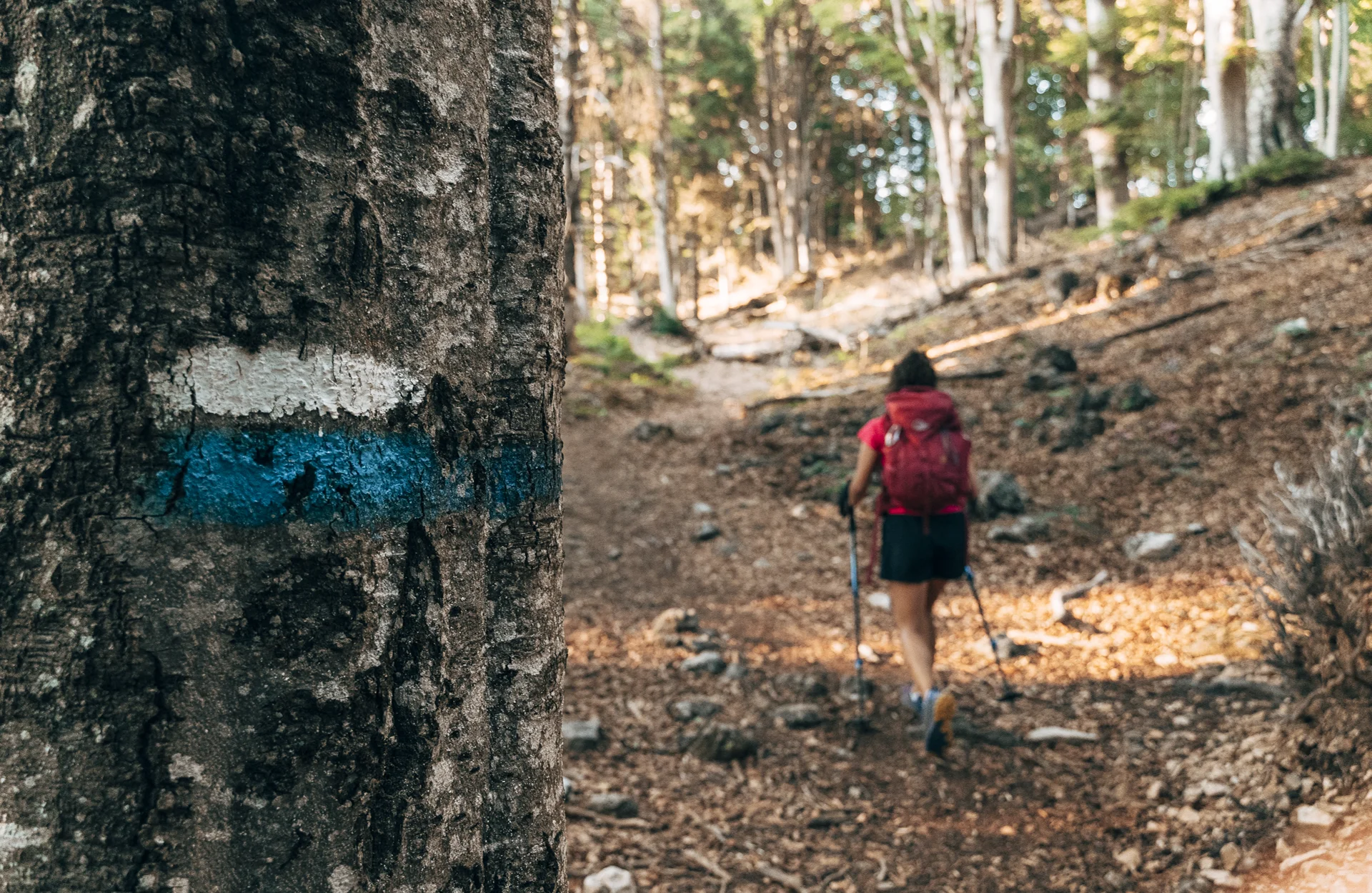
Trail: CAI no. 333 – 3V
MUNICIPALITY: MARMENTINO


